|
CCHU 9023
SHAPING
THE LANDSCAPE A Quest for Harmony between
Nature and the City |



|
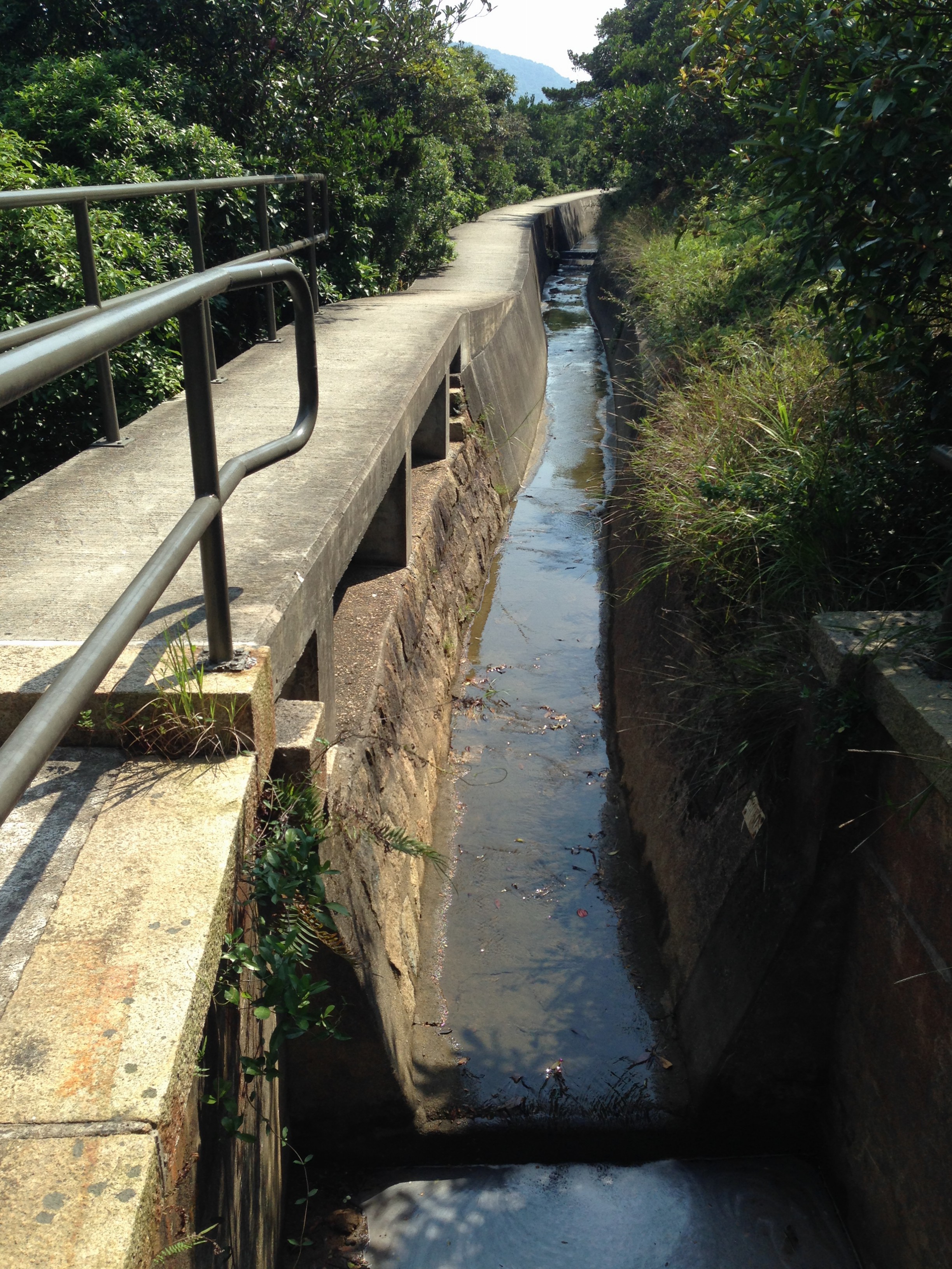
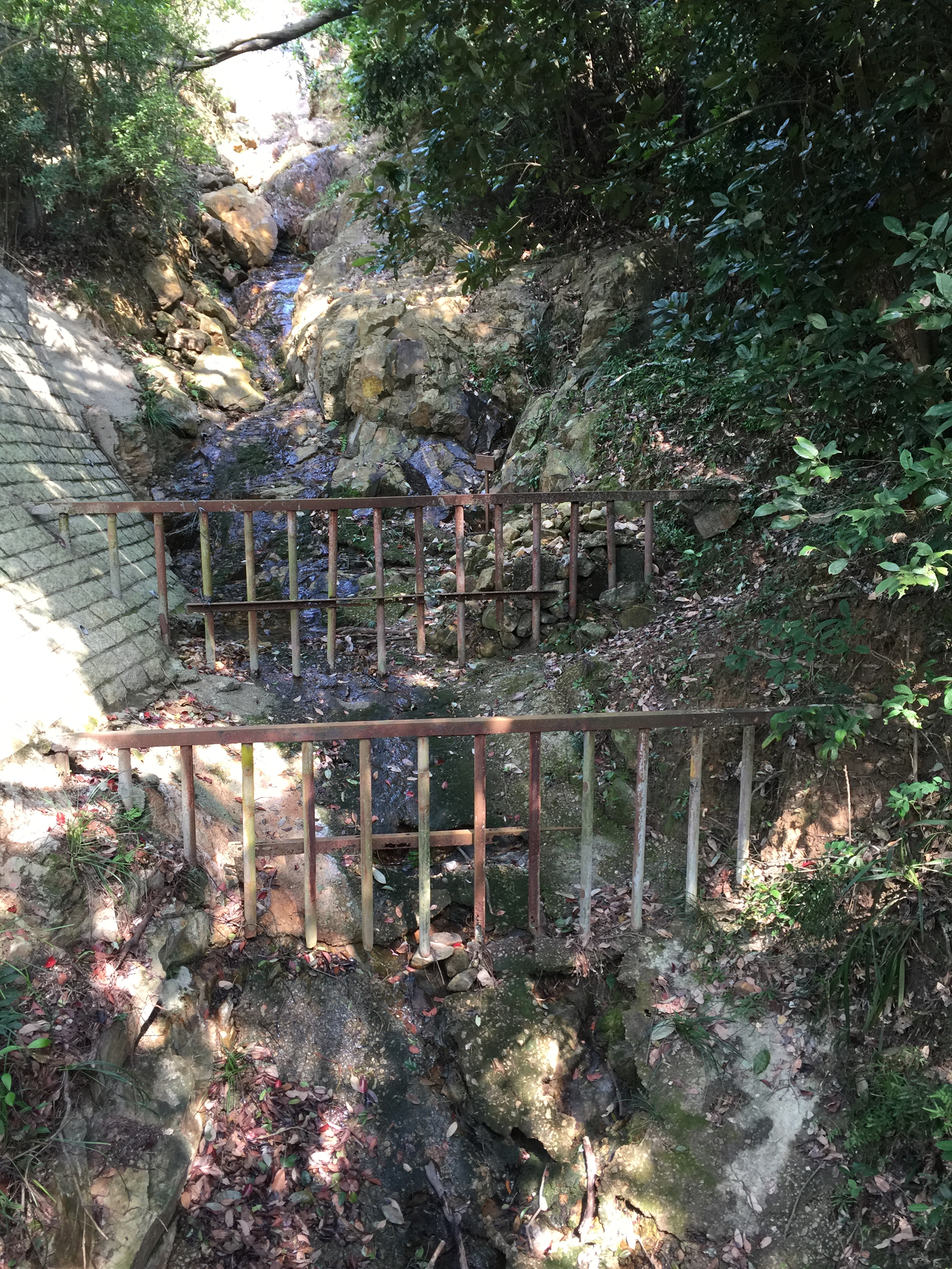
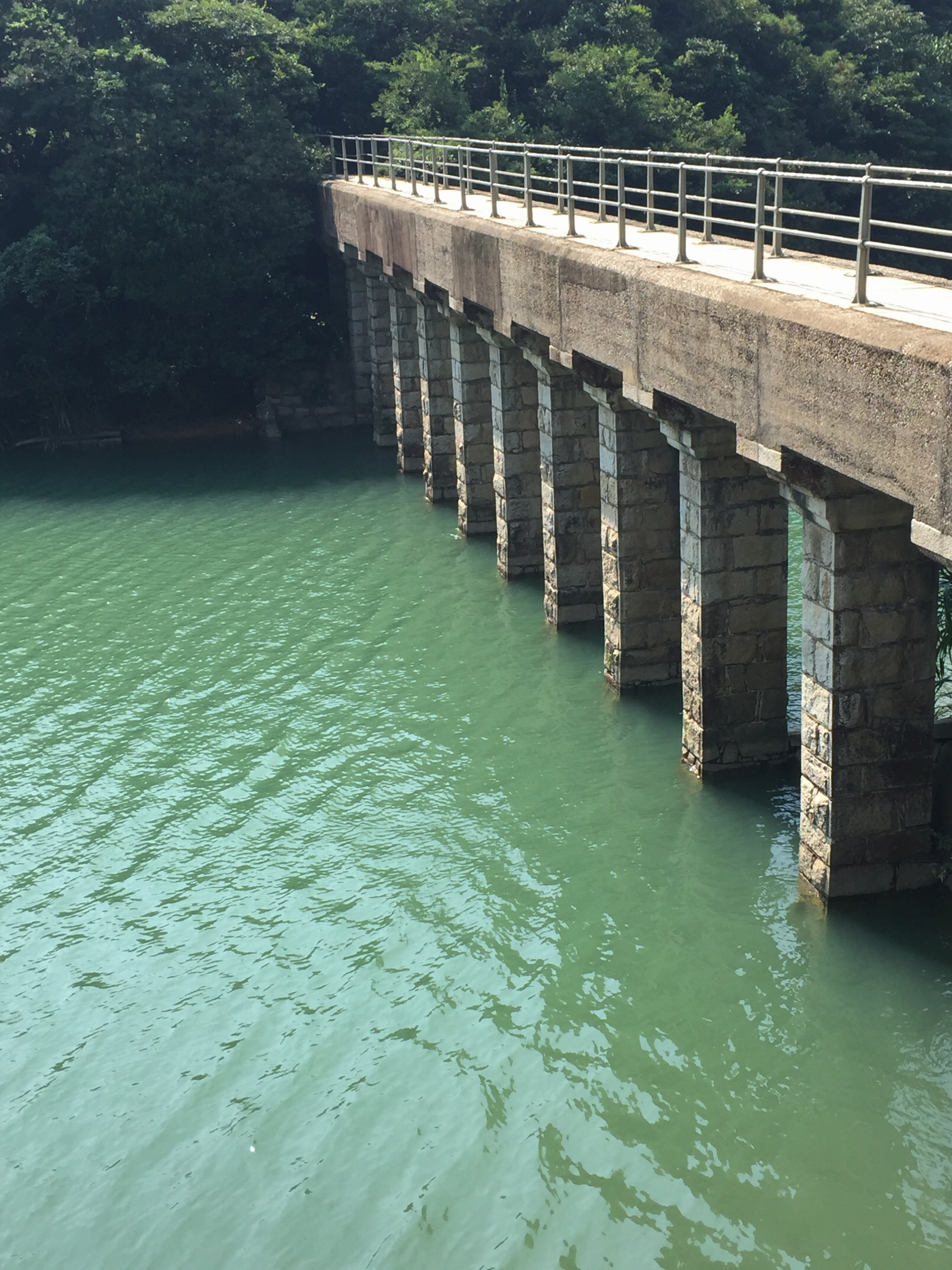
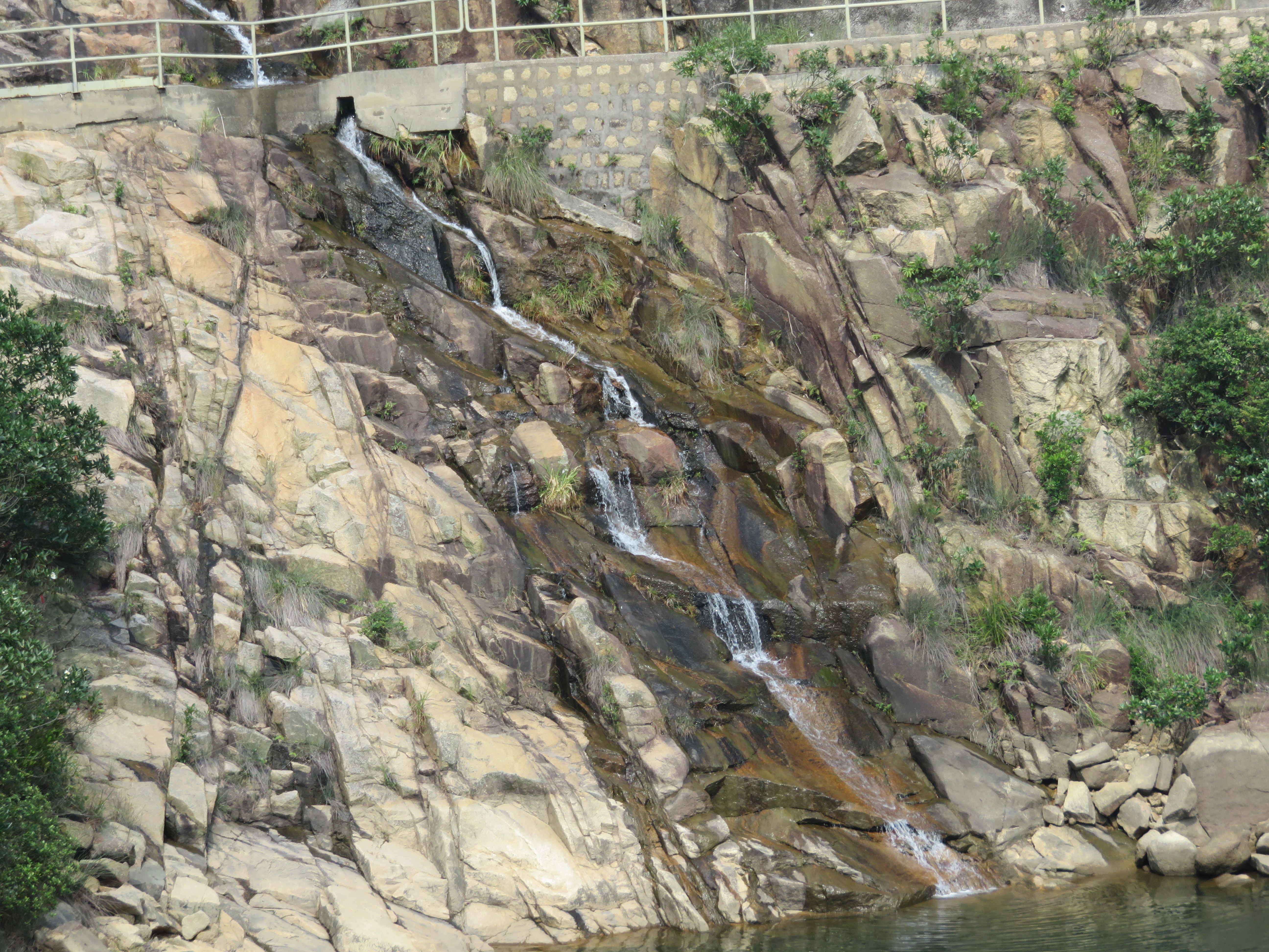
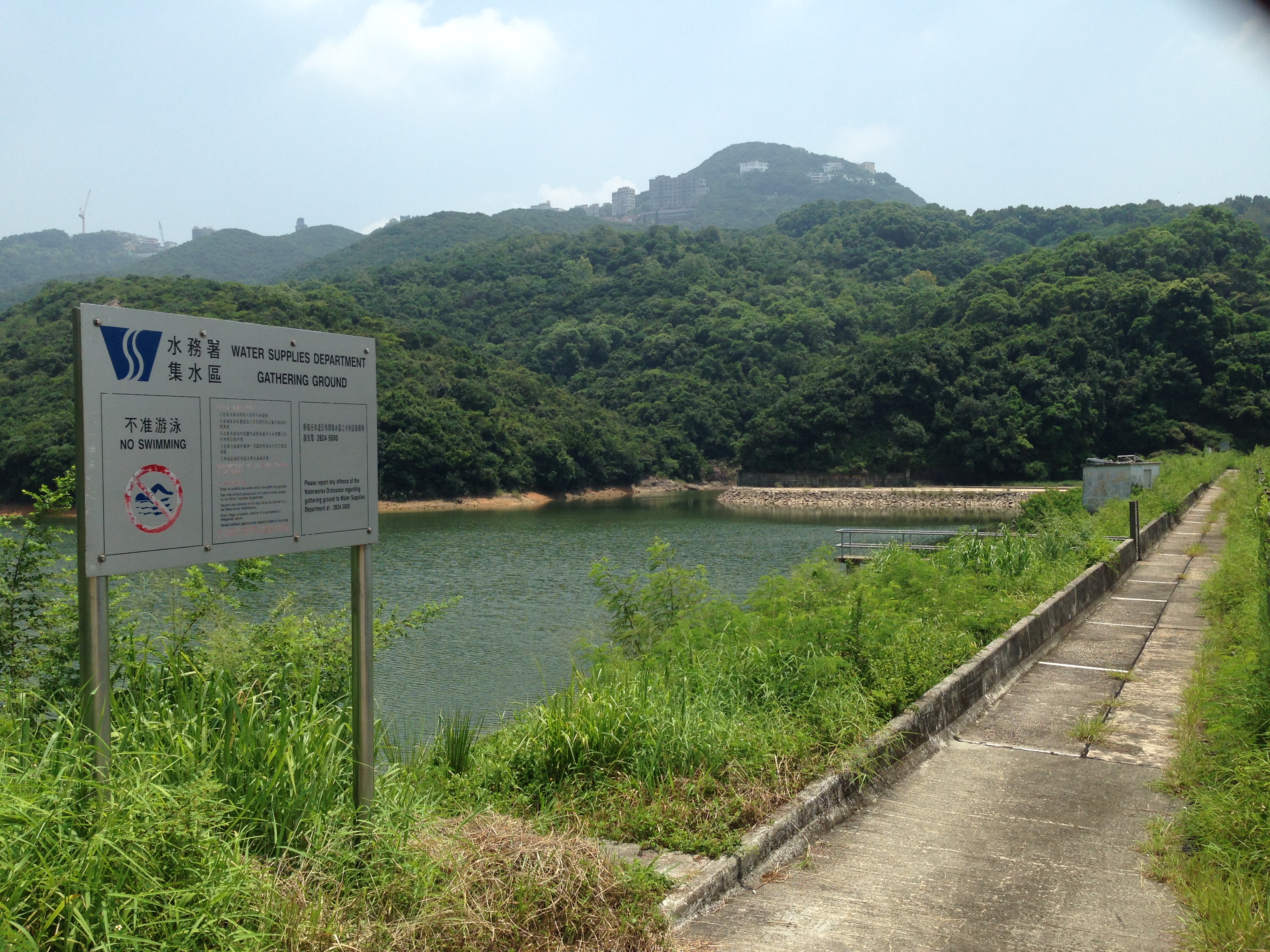
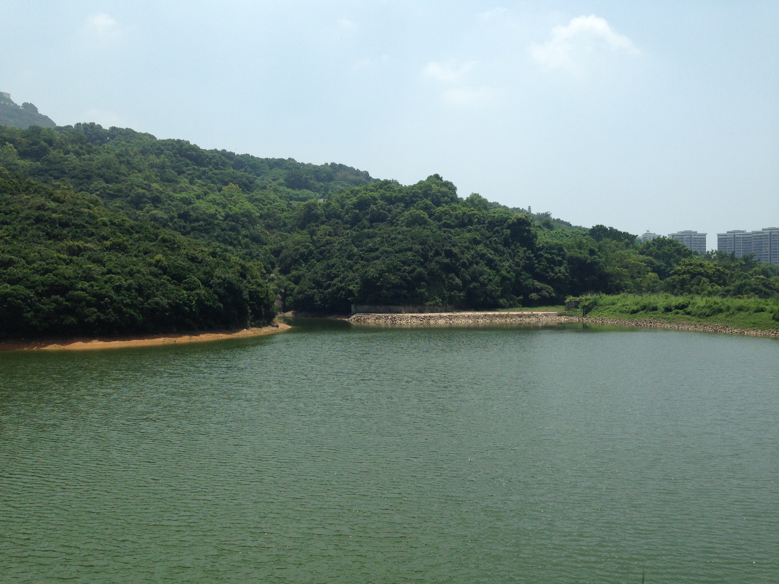
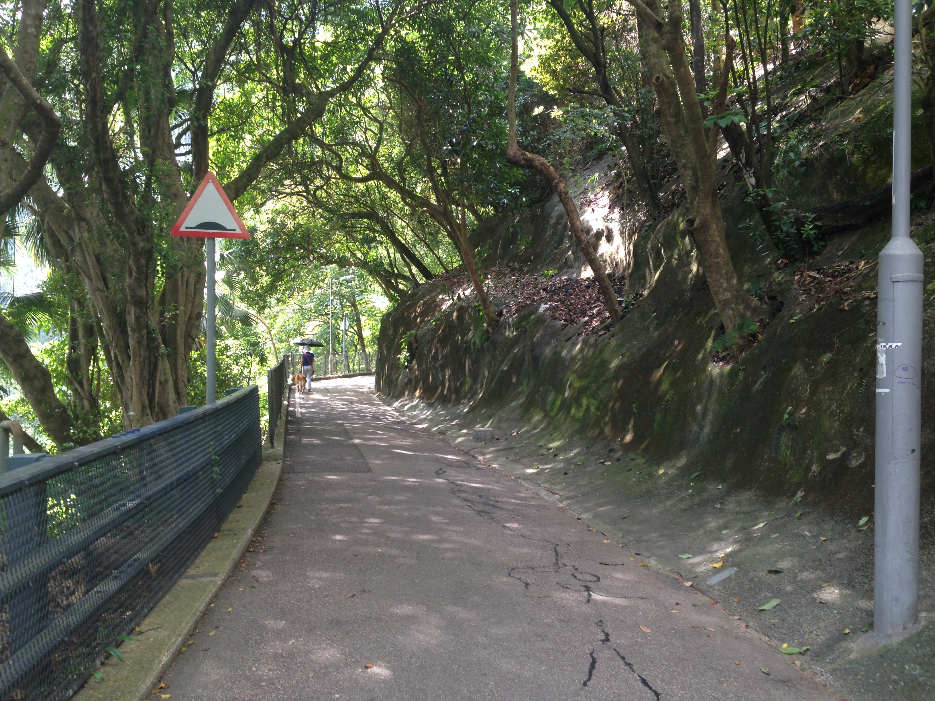
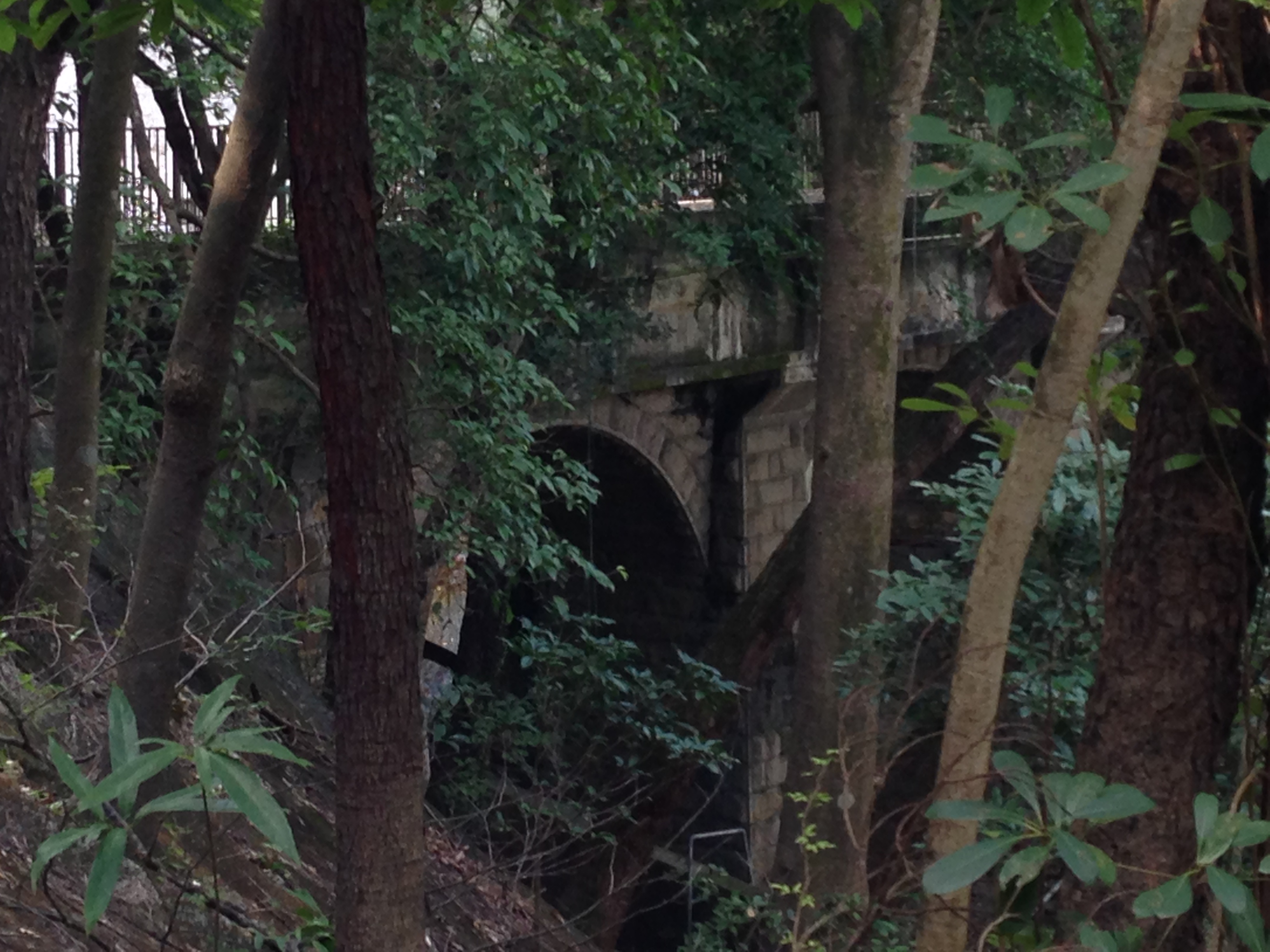
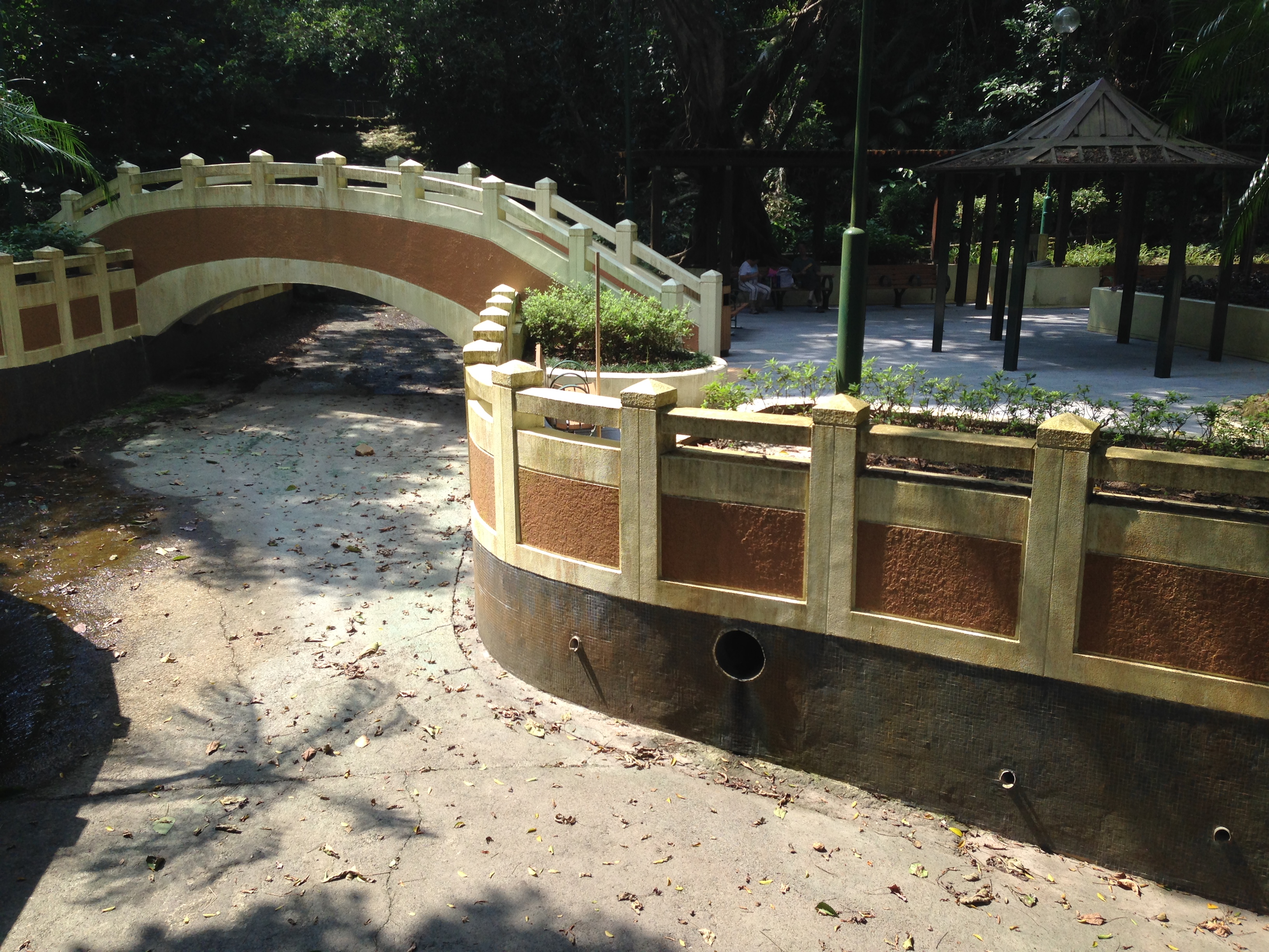
The paths we walked through were once the earliest water supply infrastructure that served the city. The construction of the reservoir took advantage of the original landscape and reshaped it for human’s purposes. When rainwater enters the reservoir, it enters our economic system and is commodified with market prices for public and private use.
Water, once one collectively-owned natural resource for all, has become a commodity with a price tag. Some may argue that, ‘commodifying our water resource is the cheapest and most efficient way of management, while also protecting its long-term sustainability.’ Others, however, believe that, ‘water commodification undermines democracy’, in the sense that neither the governance nor the commodifying process itself has any democratic participation.
With the growth in population, human has to manage water more efficiently to meet the increasing demand for water consumption. With technology, we reshape streams, construct dams, build reservoirs, insert pipes, to collect and discharge water at our disposal. This is the beginning of “water commodification”.
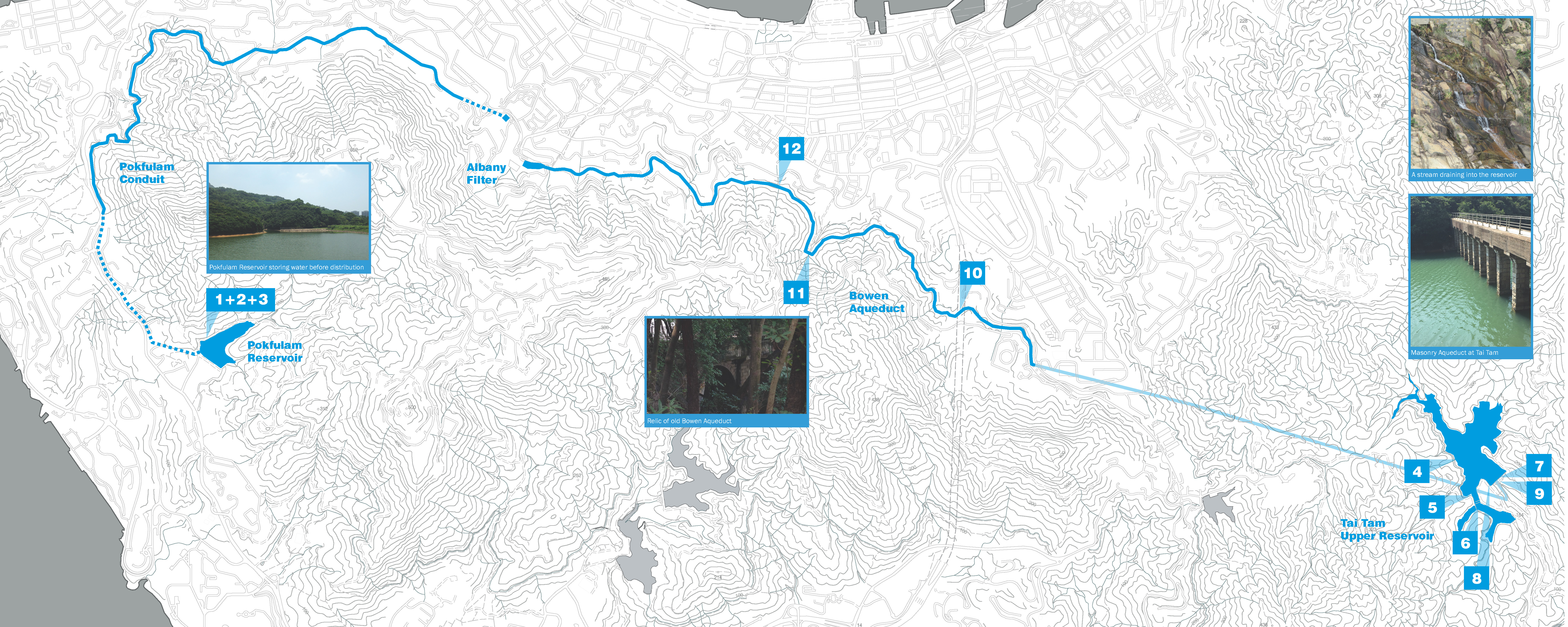
In the early days of Hong Kong, the British colonial government built the Pokfulam and Tai Tam waterworks systems to collect water for consumption. Today, we revisit these sites and follow the traces of commodification of water.
By revealing hidden stories, visualizing changes, our art installation establishes our own manifesto of an anthropocentric interpretation to water resource.
By visiting three of the most historically significant waterworks systems in Hong Kong - Pok Fu Lam Reservoir, Tai Tam Reservoir, and Bowen Aqueduct - we explored many man-made water commodification approaches. After studying close-up, we realized the vast scale that human has purposely reshaped the way water flows in order to meet our needs, which most of us are not aware of even though all of us consume water daily.
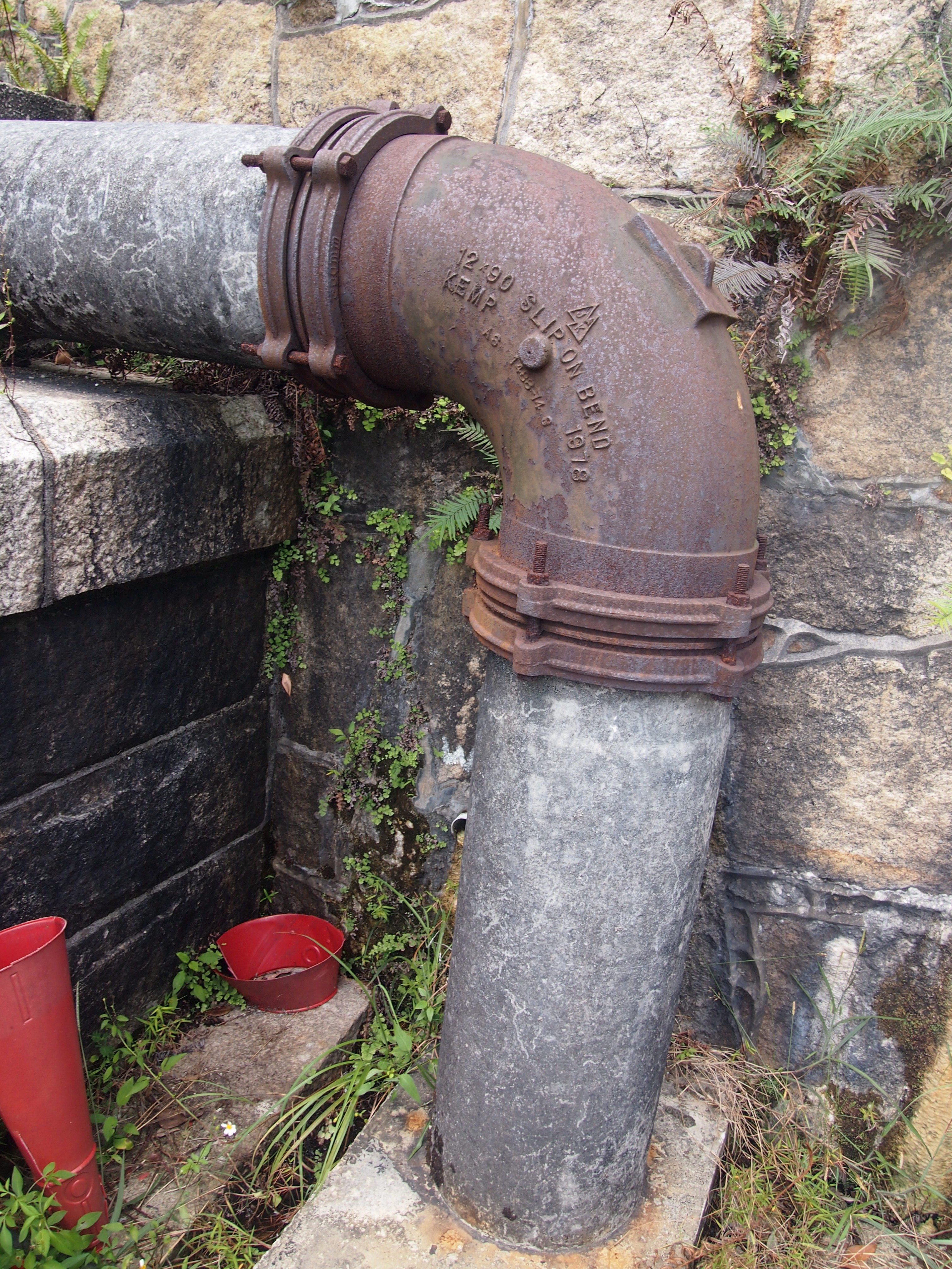
To record our findings, we zoomed in with our camera lens and took photos. We lifted pipe covers in order to search for view angles that would enable us to see our surroundings from a different perspective and reflect upon our anthropocentric way of development. The reason we chose photography as the main way to express our theme is partly because of the restriction set upon us by the reservoir regulations, but also partly because we do not want to intrude upon the site by adding additional human traces - actualising our theme of reflecting upon human commodification and to avoid it as much as possible.
By consistently documenting through photos of water pipes, aqueducts, and channels, we hope to raise the viewer’s’ awareness of how we have commodified water throughout the centuries, and how we have changed the natural landscape to supply water for us. The purpose is not to judge whether treating water as a commodity is right or wrong, but to make remarks on every little amendment human has done to nature in order suit our own ways of life.
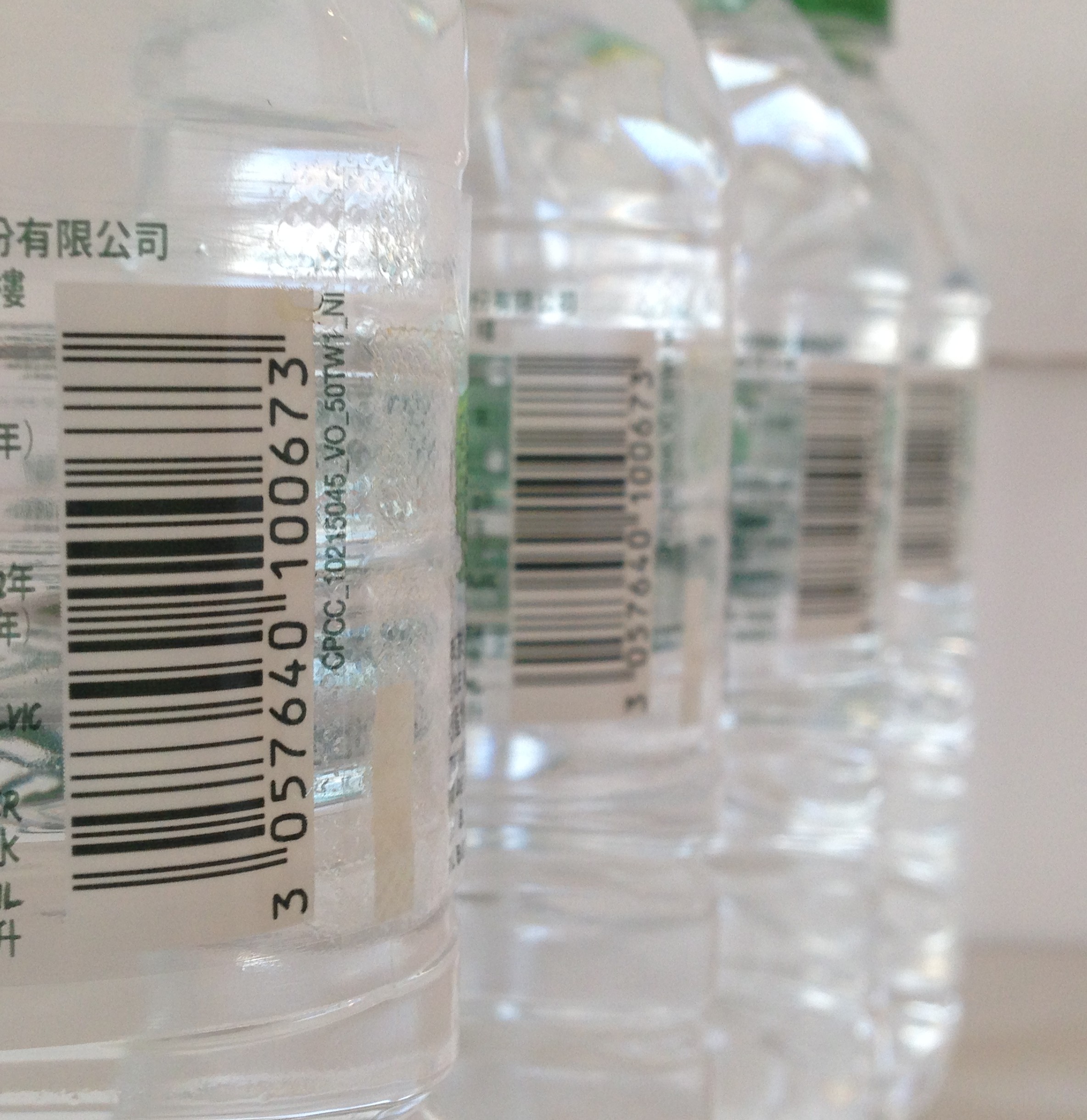
To visualize our topic about commodification, our art installation takes the form of a large barcode, which relates to the consumption of goods, including the natural resource of water.
This barcode installation has two sides. While one side of this installation resembles literally what a barcode looks like, the other side of it is our photo gallery about the water commodification stories we’ve discovered.
Twelve sets of photos taken at the three sites showing parts of the water channel structures are hung on the wall to remind viewers of these usually neglected but important connectors and components that help us to commodify water.
To add another more engaging layer to our installation, plastic water bottles containing questions regarding our water collection process are hung from the ceiling at different heights and dispersed throughout the installation area, to allow visitors to interact with them. To find out the answer to the question, the visitors can scan the barcode labelled to the bottle, in a way that symbolises the commodification of water as barcodes are often used to identify commercial products.
A
1. Dam | 水壩
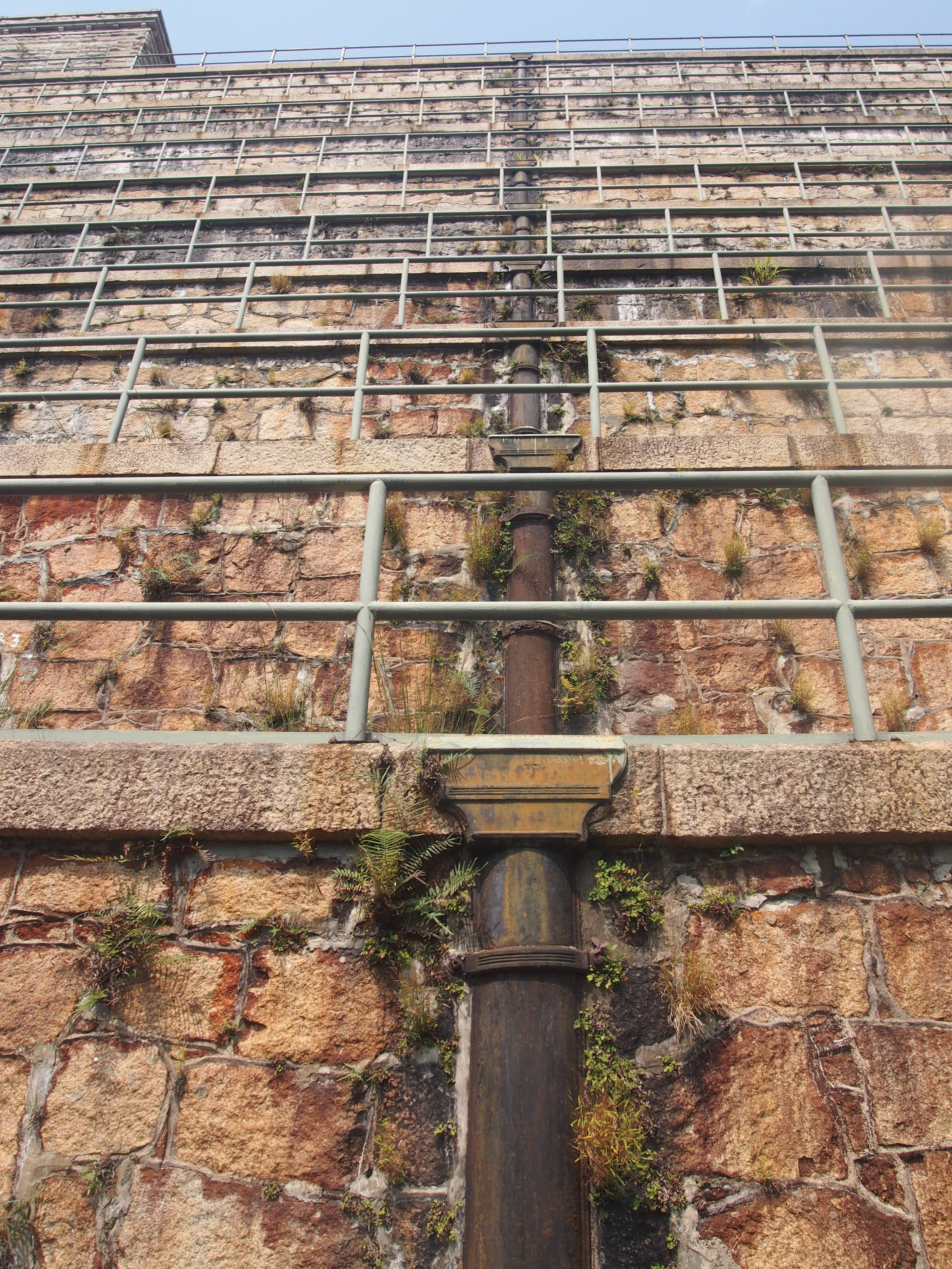
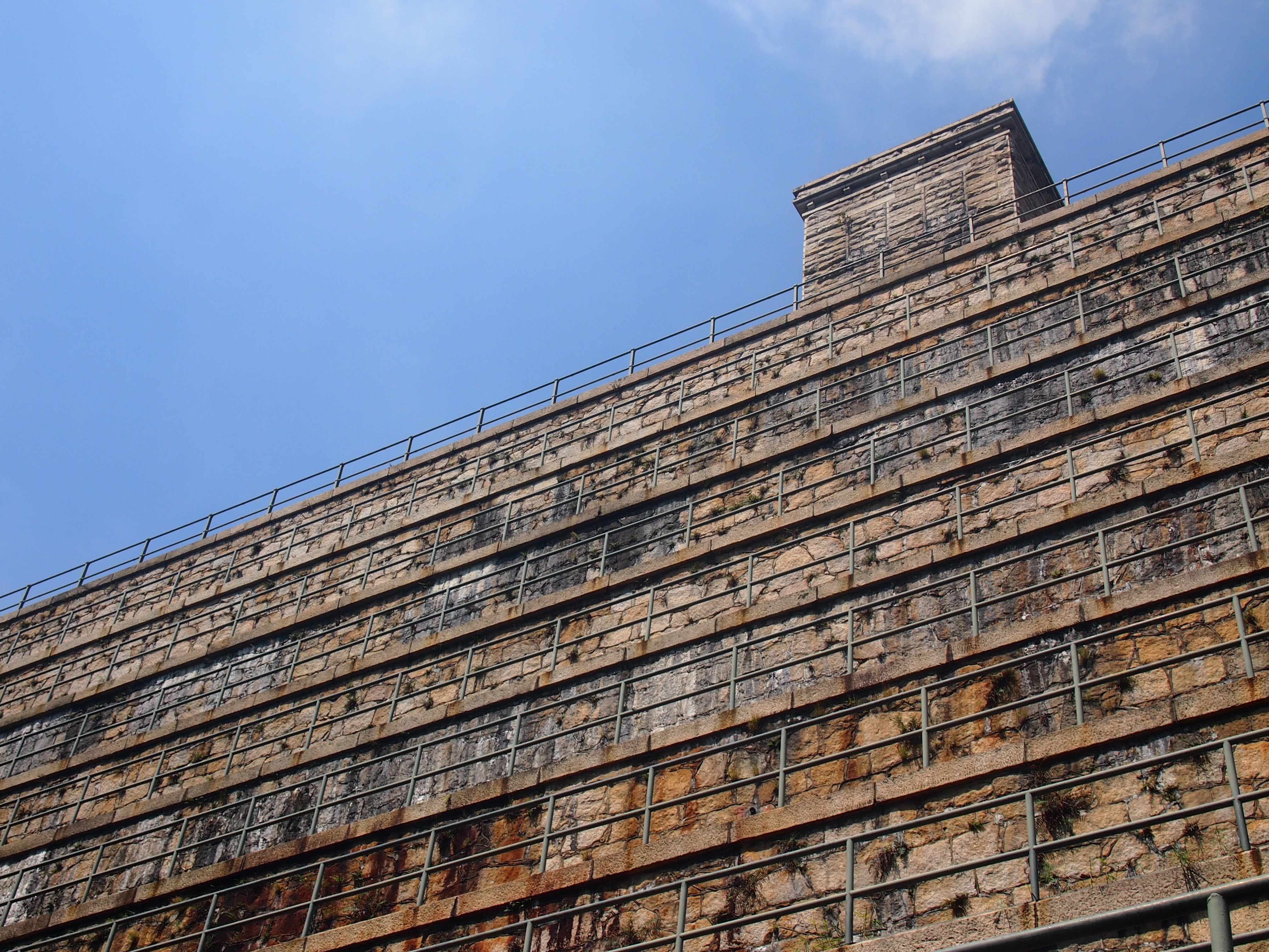
On our way up to the reservoir, the first thing we saw was the dam - the 28m high, 122m long, and 18.3m wide concrete structure. Behind it is where water is stored and then distributed. Upstream water constantly flows through cascades. Rainfall runs off the slope to be collected in the reservoir. More than 9000m3 of water could be stored in 1863, when the reservoir was first built, and the storage capacity is further enlarged to 309,000m3 in 1877. The construction of the dam facilitated the process of commodifying water by discontinuing natural flow for storage purpose.
2. Water Channel | 水渠
Wrapping all along the slopes, brick channels have incorporated themselves into the landscape to maximize water collection. 13,600 m3 of water is efficiently collected and channelled daily. Soil around the channel functions like sponge: it stores rainwater during rainy season and provides stable flow for reservoirs even during droughts.
3. Forbidden Signs | 保護水塘指示牌
To keep the water source clean, signs with bold and clear messages are erected everywhere at the reservoir, declaring activities that are forbidden. But for whom?- Do not deposit any materials which may fall or be carried into the stream; do not release or feed animals; do not pollute water; do not swim or allow your pets swimming in the reservoir or the water gathering ground; do not climb over the fences; do not ride bicycle; do not barbecue; do not fish. All these are to safeguard the quality of water collected for consumption.
A
4. Natural Stream | 自然溪流
Water of the natural streams in the hill joins together before entering the reservoir. In the main stream, water winds slowly through ferns, stones, grasses along the way, flowing at a speed of merely 10 L/min. The choice of location for the Tai Tam Upper Reservoir was to maximize such collection of water from natural streams.
5. Main Clear Channel | 清水渠
Within the 1.25km2 catchment area, water is collected and flows down a 1950m long and 15cm wide channel. Now, at the end of this channel, a white PVC pipe above ground transports water collected from the nearby hills, streams, and ponds, to the Tai Tam Upper Reservoir.
6. West Catchwater | 西引水道
Hiding in the secluded forest next to the reservoir, West Catchwater ranges 2.4km down the mountain. Walking through the rugged mountain paths, you’ll see water flowing quietly down to the concrete trench along your side.
Masonry Aqueduct | 石輸水道
Arches, columns, and pieces of concrete slabs together form the Victorian-style aqueduct bridge. This historical structure directs water collected by the West Catchwater to the Tai Tam Upper Reservoir.
8. Warning Signs | 警告牌
There are always signs that instruct you - do not swim in the gathering ground; do not enter or pollute the water ground; do not fish without a valid license, etc. In the past, Chinese people were banned from entering the reservoir area. Now, we are prevented from entering for hygiene and safety concerns. Indeed, it may be necessary to put up signs to preserve the cleanliness of our drinking water, but since when has the water that flows from streams, condenses from water vapour, and evaporates into air, been turned into a “resource” that is exclusively controlled by authorities?
9. Discharge | 排水渠
At each berm of the dam, unwanted rain or water leakage is collected via drainage along the berm, then transported to a vertical pipe (of 30.5m high and 30cm wide) at the centre of the dam. Such water reaches the bottom of the dam and is being discharged back to the natural stream. If water is a scarce resource, what determines when it should be collected or discharged?
A
10. Aqueduct | 輸水道
Completed in 1888, the 4.8km long Bowen Aqueduct was to transfer water from Tai Tam Reservoir to Central to stabilize water supply. There were a total of 98 bridges and culverts supporting the structure. The aqueduct supplied 3182 m3 of water to the city daily until it was abandoned in the 1950s. Now, the road is a paradise for joggers. Only by careful observation can they notice the traces revealing the original water supply purpose of this infrastructure.
11. Former No.4 Water Service Tank | 前寶雲道配水庫
What was once the No.4 Water Service Tank along the Bowen Aqueduct, is now converted into a stormwater graden – a design to dissipate excessive water to prevent flooding. Instead of storing water for consumption like in the old days, water that passes through here now is discharged through surface drainage system leading towards downhill. The water management approach, of what should be stored and what should be discharged, has changed since the aqueduct period, as we now have a steady purchase of water from Dongjiang.
12. HK West Water Drainage Tunnel | 港島西雨水排放隧道
To alleviate flooding in the low-lying areas of northern Hong Kong Island, the West Water Drainage Tunnel Project was initiated in 2007. Along Bowen Road, surface runoff is intercepted, and then drops 190m deep into the Main Tunnel. By gravity, the excessive rainwater then travels 10.5km westwards. With a discharge up to 240m3/s, countless amount of freshwater thus enters the sea. If fresh water supply is scarce, are there ways we can reuse such excessive rainwater rather than discharging it to the sea?
a
- CHAN Sze Wah
a
- CHUNG Wan Sau

